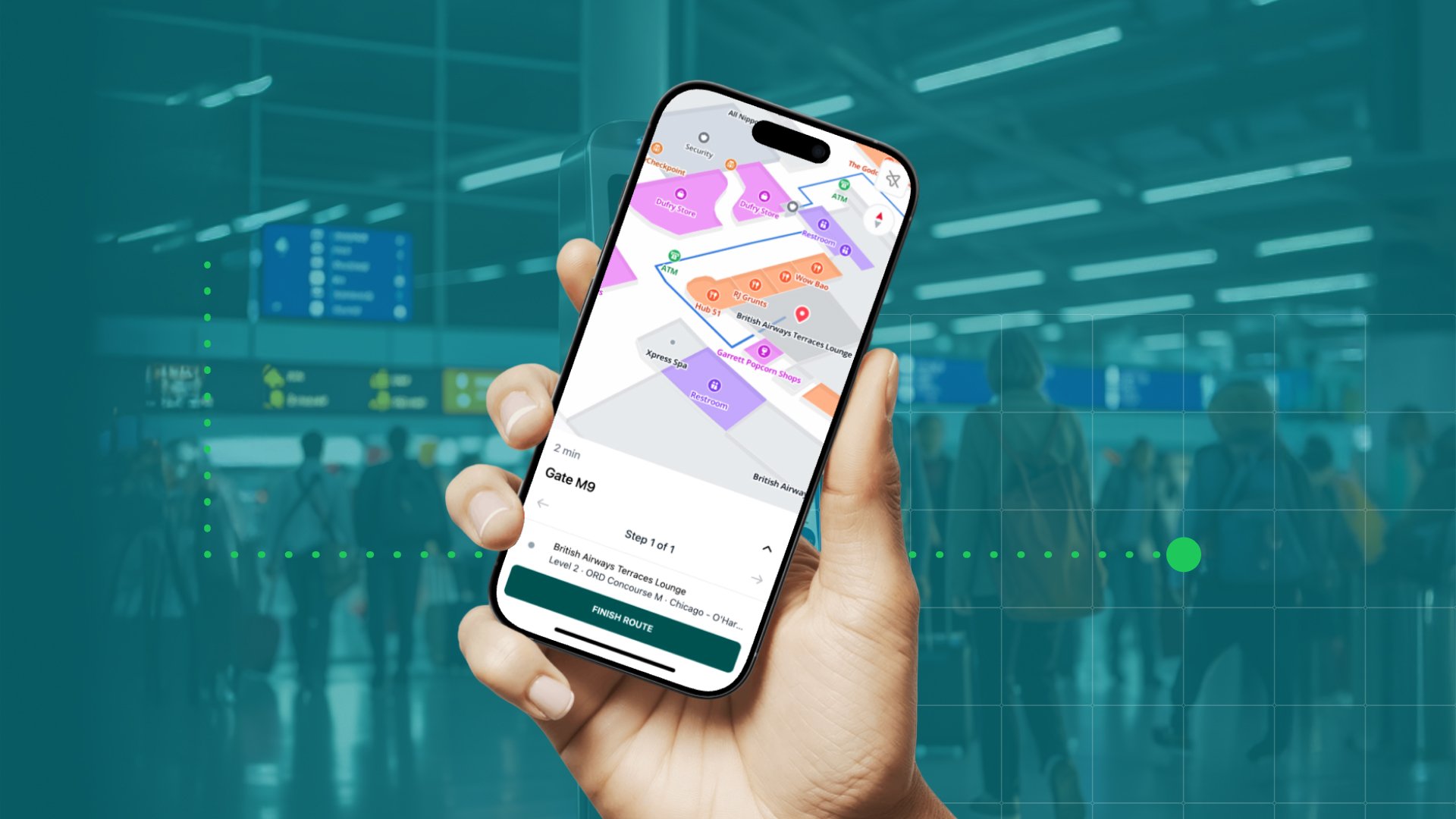
Indoor mapping is no longer nice to have. It is a must-have. However, it is still a relatively new technology and many are looking to invest in their first indoor map. And doing something for the first time is often linked to some uncertainties. Investing in indoor mapping is no exception (although we would like to think it is a no-brainer).
In this blog post, we have gathered five of the most common questions clients ask us at the beginning of the process, hoping it will answer some of your questions too.
1. The building is small; do I need indoor mapping?
A couple of years ago, indoor mapping was more about indoor navigation than the map itself. That has changed.
Today, indoor mapping is about combining and visualizing essential data, so everyone always has easy access to the information they need. That means it is no longer the size or complexity of your building that decides if you need an indoor map, but your need for live data.
Live data includes everything from asset tracking and real-time positioning through room and desk occupancy to IoT telemetry, eg. temperature, humidity, and CO2 and noise levels. These are all examples of data that is essential in today’s modern facilities. However, they do not bring real value on their own. For instance, knowing where equipment is located does not help you find it unless you have a map to visualize its position. And knowing what the air quality and temperature are like in meeting rooms will not help you book a suitable room for your next meeting unless you have the data visualized together on a map.
Indoor navigation is still one of the benefits of indoor mapping - especially in large and complex buildings. However, indoor mapping is more about enabling the bringing together of disparate technologies to unlock the full potential of your third-party systems.
So, yes. You may need indoor mapping even though your building is not that big.
2. Can my MapsIndoors map be publicly available on Google Maps?
No. Your MapsIndoors map is 100% private and cannot go on Google Maps even if you want it to. You can make your map publicly available by integrating it into your website or app if you want visitors to access it.
Why you cannot put your map on Google Maps
MapsIndoors and Google Maps are two different systems. All MapsIndoors maps are built with either Google Maps or Mapbox technology. This means when creating your map, we use either Google Maps or Mapbox APIs depending on your needs. The APIs serve as the foundation for your map dictating its functionality - how you can zoom, pan, rotate, if it is 2D or 3D, etc. - but it is not (and cannot be) connected to Google Maps.
Even though MapsIndoors is not available on Google Maps, it will still bring users the well-known look and feel of Google Maps thanks to the above-mentioned APIs. Users also have outdoor-to-indoor navigation with MapsIndoors, so they can navigate directly from their front door to their destination inside your building.
3. Can I get the ‘blue dot’ experience?
Yes, but you should consider the following:
To get the blue dot experience, you need to integrate your MapsIndoors map with an indoor positioning system (IPS), which can increase costs significantly, depending on the IPS technology selected (BLE, magnetic field, WiFi, etc.).
The blue dot improves the indoor navigation experience. However, people do not look at their phones while walking (we've all seen the videos of people tripping over curbs or falling into fountains). Instead, people look at the map, pick the next waypoint, put the phone down, and walk. Once they get to the chosen waypoint, they look at the phone again and pick the next waypoint.
We should discuss your use case and requirements to be sure an IPS is necessary. Our solution engineers are experts at tailoring solutions that cover your needs while ensuring you are not wasting money on something you do not need.
4. Why do I have to pay a subscription to get a map and are there any setup fees?
You do not pay a subscription to get the map. You can say that the map is free of charge since we typically do not have any setup fees.
However, you have to pay a subscription for your MapsIndoors license to be able to use it.
Do you charge anything for the number of users/sessions/integrations?
No. We do not charge extra based on the number of users or sessions. We have created some integrations that have an additional charge, but if you make the integration yourself, there are no extra fees.
5. Who creates the map, the points of interest, and the routes?
MapsPeople creates the map and does the initial load of all your points of interest (POIs). Once complete, you can manage those through the MapsIndoors Content Management System (CMS). However, if you have a mass update, we can work with you to make it easy for your team.
What parts of the map can I edit and what do I need MapsPeople to edit?
The MapsIndoors CMS allows you to edit POIs, open/close routes, and change metadata just to name a few of the features available there.
If you want to know what you can and cannot edit in your map, consider “the hammer rule”: If a hammer would have been involved in the map change, you probably need MapsPeople to update the map. If no hammer, then you can probably do it yourself through the CMS. For example, taking out or putting up a wall, you will need us. You can adjust POI location, close a route, or create new POIs in the CMS and it does not require any programming skills.
If you have additional questions or want to discuss your specific use case, do not hesitate to reach out to us - we are here to help.
July 11, 2022


.png)