If you haven’t checked out the new update to Google Earth Timelapse yet, we highly recommend that you clear a couple of minutes of your schedules to do so. We did, and we’re amazed.
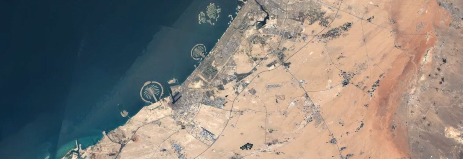
Timelapse is a global, zoomable video that lets anyone explore the last 35 years of our changing planet’s surface - from the global to the local scale. The project contains 18 recommended videos that show examples of extreme changes in the environment, i.e. the retrieving Columbian Glacier of Alaska or the drying of the Aral Sea in Kazakhstan and Uzbekistan. The videos also show stunning examples of human urban construction skills like the rapid sprouting of Dubai’s Palm Islands.
Apart from the fixed videos, the projects lets you explore the changes in any part of the planet’s surface using the search function. This means that if you’re curious about your local area, like we are, you can search for your location and see how much it’s changed in the last 35 years. You’ll probably notice developments that you weren’t even aware of. Check out the urban changes in Nørresundby, the home town of MapsPeople:
Using their Earth Engine, Google combined over 15 million satellite images acquired from five different satellites over the past three decades to create Timelapse. The project lets you pan and zoom to any location, and with the latest update, mobile and tablet use is supported as well.
When you’ve found your area and created a video that shows the surface from the distance and in the speed (x.0.25, x0.5 or x1) you want, you can click the “share”-button in the left corner to share the video with your network or embed it onto your website.
How has your hometown evolved in the past 35 years?

.jpg)

