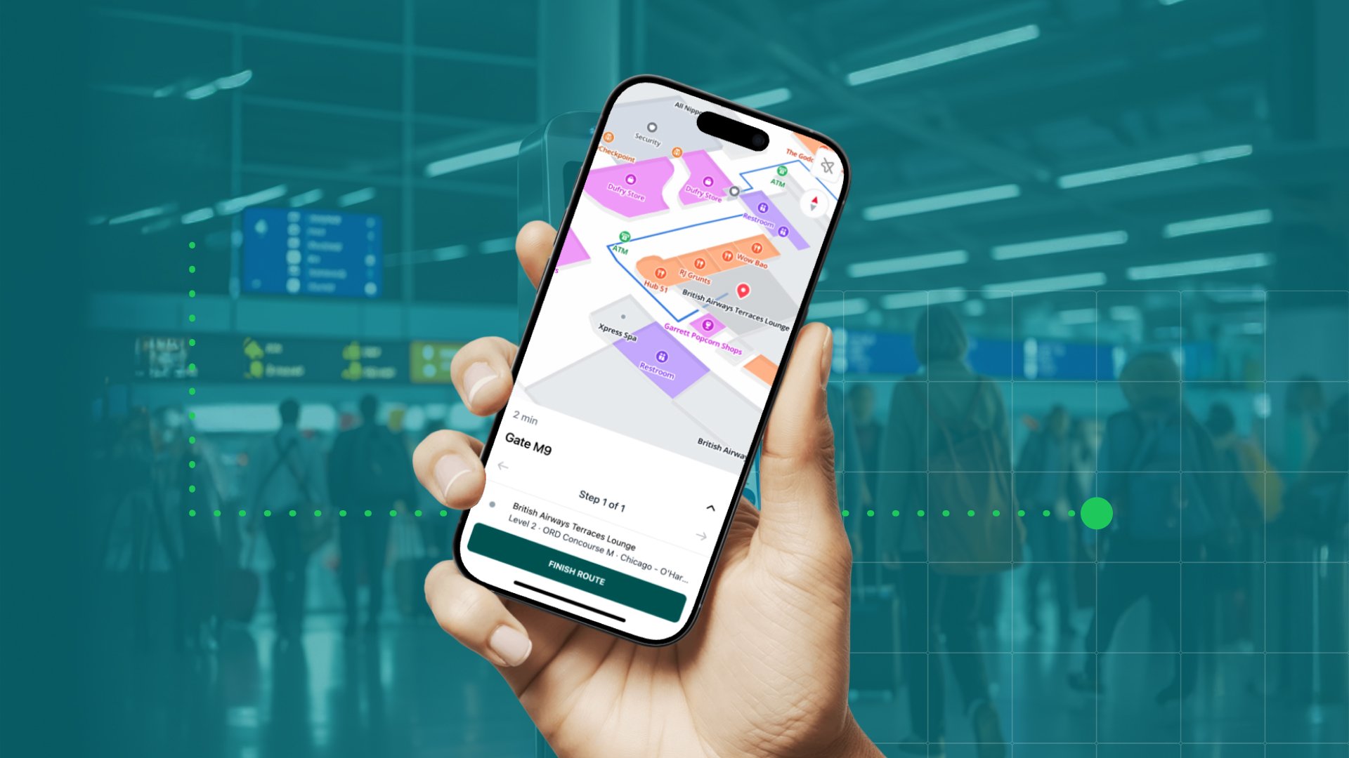
As facilities are increasingly expected to accommodate employees, facility management, and visitors by offering a smart, integrated, and personalized experience, the need for live indoor data to connect people and buildings is growing rapidly. But, so is the number of intelligent sensor devices and smart solutions, so how do you make your solution stand out from the crowd?
- You integrate it with a dynamic mapping platform.
A dynamic indoor map empowers you to present the data your solution captures in real-time in one visual experience, making it easy to access, ingest, and act on for end-users. MapsIndoors is one of the leading mapping platforms in the field as it easily integrates with any 3rd party system. We call it ‘dynamic integrations’. In this blog post we dive into three of the most important dynamic integrations in 2022.
Help your clients save $1,302,600 USD per year…
For most organizations, real estate expenses are one of the largest expenses on the books, only surpassed by salaries. Yet, data shows that almost 40% of workstations will be left unused in 2022 at any given time. In addition, more than 20% of employees in large organizations waste 10 minutes a day or more searching for an available meeting room. In a company with 5,000 employees with an average salary of $30/hour, that’s $1,302,600 USD per year.
With MapsIndoors you can provide your customers with real-time resource availability visualizations and in-app booking and reservation, helping them eliminate time waste. As MapsIndoors also serves as a navigation platform, your clients will be able to search for a destination or resource based on specific criteria and easily navigate to their booked room, desk, or activity directly from the map via your calendar integration.
Empower clients to increase workplace experience (and reduce carbon footprint)
Studies show that uncomfortable environmental conditions can negatively affect performance. With temperature, humidity, and CO2 integrations, users can view the current conditions of a room before booking it.
By pairing your sensor devices with MapsIndoors you can provide your clients with location vitals so users can visit or book spaces they wish to occupy that meet their environmental needs. The visualization of bio-based statistics enhances user experience and provides actionable space-related data. In addition, the combination of your sensor data and MapsIndoors enable your clients to reduce their carbon footprint.
Buildings are responsible for 40% of the global energy consumption and 33% of greenhouse gas emissions. Ensuring that new buildings are sustainable and energy-efficient and retrofitting existing buildings to reduce their carbon footprint will be key to our efforts to tackle climate change. Thanks to MapsIndoors’ navigation capabilities, facility managers will be able to quickly and easily close off part of a building if it is not needed. People tend to work from home on Mondays and Fridays, so maybe your clients do not need to use their full office space on these days. By blocking desks and meeting rooms in one part of the office, thus keeping employees in the other part, energy is not wasted on half empty spaces. When an area is closed off in MapsIndoors, users will automatically be guided to the part of the building that is in use and show alternatives if users search for a destination in the unused part.
Offer real-time asset tracking
Real-time asset tracking is one of the most popular dynamic integrations at the moment. As buildings get bigger, it also gets more difficult to track down equipment. With MapsIndoors you enable your clients to quickly identify location and positioning of equipment and other moveable assets vital to their business operations e.g. smart boards and telepresence robots in offices, wheelchairs and defibrillators - or even doctors - at hospitals, and bikes and shuttles in outdoor areas.
As MapsIndoors is built with Google Maps and Mapbox technology, it offers a well known look and feel that makes it easy for users to use the map. In addition, it ensures outdoor to indoor navigation, so your clients can track movable assets both indoors and outdoors.
If you want to know more about dynamic integrations and MapsIndoors, we have created a short guide that will give you an introduction to the most used integrations. Is your product not represented? Do not worry. MapsIndoors integrates with all 3rd party data systems. Reach out to one of our sales managers to discuss how your solution can benefit from a dynamic and scalable indoor map.
June 8, 2022


.png)