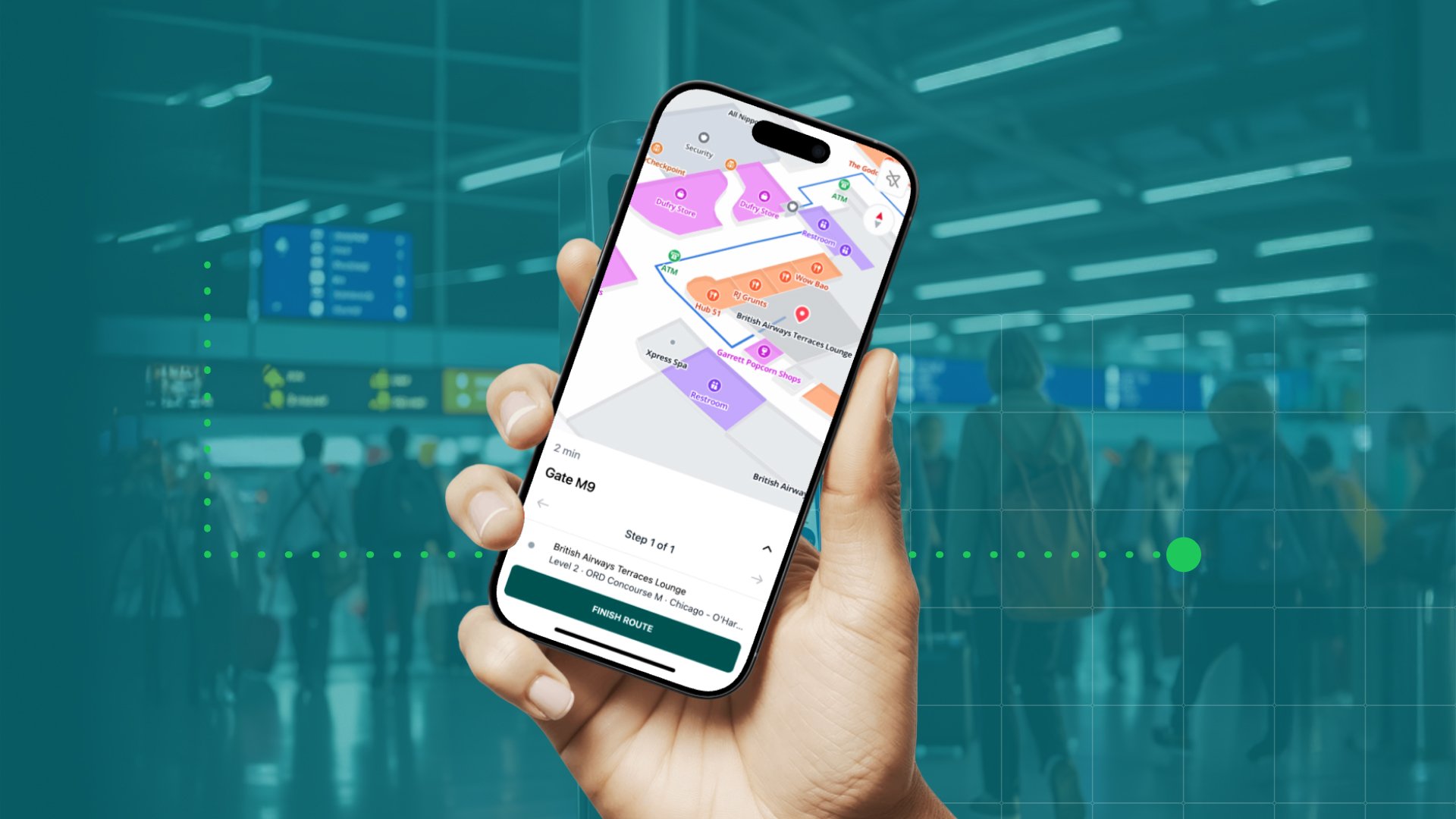
Where would we be without Google Maps? Lost, probably..
Sixty-seven percent of navigation app users prefer Google Maps over other navigation apps, but even the most trusted map sometimes struggle to calculate your position. That’s why Google is making Google Maps even more accurate with augmented reality.
Where and why your phone struggle to calculate your location
In the past few decades there has been some huge leaps forward in how we can localize ourselves in the world. The global navigation satellite systems, such as GPS and Galileo, sends signals to the GPS receiver in your smartphone, which allows your phone to calculate its position. This often results in very fast and very accurate location information for your device.
However, if you’re trying to navigate in an unfamiliar big city, very accurate location information isn’t enough. You need extremely accurate information telling you which side of the street you’re on and in which direction you’re facing. Most of us have probably experienced the blue dot flickering around on the map after coming up from the subway. You may even walk in the wrong direction for a while before realizing your mistake.
The problem is that you’re walking in a dense urban environment with big buildings on either side of the street - a so-called urban canyon. The signals from the navigation satellites can get blocked by these buildings or in some cases bounce off of the buildings before they reach your phone, which makes it miscalculate the distance to the satellites and incorrectly triangulate its position.
Increasing accuracy with Visual Positioning Service
Ninety-two percent of smartphone users use their phone to take pictures and the quality of the camera is the third most important consideration for phone buyers, and soon your phone’s camera may also provide you with even higher accuracy, when you use it for walking navigation.
Back in 2018, Google announced that it was adding AR features to Google Maps. Earlier this year, Google finally let select local guides try the AR feature in a preview version, and at I/O ‘19, the company announced all Pixel phone owners will now be able to use the AR feature too.
Over the years, the tech giant has tried to make it easier to know where you are and even which direction you’re facing. This new AR method is called “global localization” and it combines Visual Positioning Services with Street View and machine learning. You simply point your phone’s cameras at your surroundings and machine learning identifies the landmarks based on Street View imagery to pinpoint your location. It can then accurately display information, such as directions, over the real world.
If you want to see how it works, check out the video below where David Pierce from the Wall Street Journal take it for a spin.
Last year was a big year for augmented reality, but we’ve only seen the tip of the iceberg. We’re expecting this year to be filled with important achievements which will act as stepping stones in AR’s journey to become a life changing computing platform. If you want to know more about how we work with AR, read the blog post below about our partnership with Cologne Intelligence.
May 23, 2019


.png)