
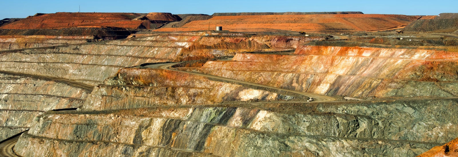
There’s a first time for everything and for the first time in MapsPeople’s history, we’re mapping an iron ore mine, the Mina Justa pit.
You might have heard about the Nazca lines in Peru that form geometric patterns and animal shapes. The Nazca lines are approximately 35 centimetres in depth but are believed to be a couple of centuries old. In the same region today, we are making much deeper marks in the ground as there are a few iron ore mines, one of which is Mina Justa.
Mina Justa will be in operation between 2020 and 2021 and will be using MapsIndoors. The integration of indoor navigation and mining may seem odd at first, but mines are transient places. Machinery and materials are constantly moving as the topography of the mine changes making it harder for employees to do their work. The MapsIndoors solution to this problem is to update the map every two weeks. It may sound unachievable, but our custom-built content management system (CMS) makes it easy to update points of interest and manage the necessary information. Plus, the seamless union with Google Maps facilitates the integration of the unmapped land to major roads and points of entry.

While mines and the current technology may not survive as long as the Nazca lines have, Mina Justa is a great example of the innovation that can come from combining established industries like mining with new technologies.
This is just one of many interesting use cases that MapsIndoors has been the center of. If you're intrigued and want to learn more about our product, we have a lot of great content waiting for you in your blog. Check it out today.

June 21, 2019


.png)