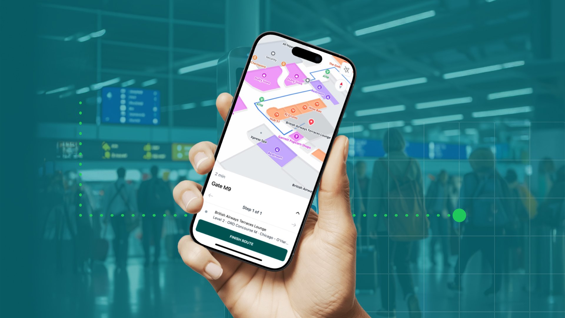
300+ Airport Maps, Ready to Support Travelers
You can now get access to detailed, structured spatial data from over 300 airports - ready to use in your apps, services or systems to deliver the best traveller experience.
Structured spatial data gives your product direct access to the layout of the terminal, how things are arranged and how they connect.
Think of it as a map your product can read. Not a static image, but a structured dataset.
It includes paths, distances, points of interest and much more - the kind of information systems need to guide people and plan operations. You can probably get some data from a single airport. But many companies operate in dozens or hundreds of airports.
They need structured data from all of them to serve users in a consistent way.
And they need that data to stay updated as airports change. That is where the real challenge lies.
Airport Spatial Data puts it all in one place.
Here’s how you can put it to work.
Helping Passengers and Drivers Connect
Ride-hailing apps often stop at the curb. Passengers wait at one entrance while drivers arrive at another. Both waste time.
With airport spatial data, a mobility app can guide passengers from the gate to the right pickup zone. It can estimate how long the walk will take. It can tell drivers the best entrance based on the passenger’s gate and airline.
Passengers know where to go. Drivers know where to wait. Less circling. Fewer missed pickups.
When an app has data from many airports, it can offer this clear guidance everywhere it operates.
Supporting Airline Planning and Turnaround
Airlines run on tight schedules. Delays at the gate can ripple through the day. Staff need to move between gates, baggage claim and support areas. Many airlines work in airports they do not know well.
Airport spatial data gives airlines a clear picture of each terminal.
- Where the gates are.
- Where the lounges and baggage claim areas are.
- How far it is from one point to another.
This data can feed planning systems. It helps assign gates, plan staff dispatch and manage turnaround tasks.
Better data means fewer surprises. With data from many airports, airlines can plan the same way, wherever they fly.
Guiding Travelers During Layovers
Layovers can be confusing. Passengers need to know how to get to the next gate. How long it will take. If there is time to stop by a lounge or restroom.
Traveler apps can use airport spatial data to guide passengers through terminals. The app can show the best path to the next gate. It can factor in security checkpoints and walking times. It can highlight nearby services along the way.
Passengers get clear guidance when time is tight.
With access to many airports, traveler apps can offer this guidance in every terminal a passenger passes through.
-1.png?width=2304&height=1296&name=image%20(7)-1.png)
More than Navigation
Airport spatial data is not only about wayfinding. It can support many types of products and services.
- Mobility platforms can manage drop-offs and pickups more efficiently.
- Airlines and ground handlers can plan turnaround and staff movements.
- Traveler apps can give clear guidance in real time.
- Accessibility apps can provide step-by-step routing for travelers with reduced mobility.
When airports are mapped in a structured way, it opens up new ways to improve passenger experience and operations.
Scaling these services across many airports is often the hard part. Having structured data from over 300 airports makes it easier to build and grow.
A Practical Building Block
Airports will stay complex. People will keep moving through them with different needs. Products that help people move with clarity will stand out.
Structured spatial data is a practical building block for these products. It turns complex layouts into information systems can use to guide, plan and inform.
Solutions that use accurate airport data are better equipped to serve passengers and improve operations, one terminal at a time.
Explore Airport Spatial Data
See how access to structured data from 300+ airports can support your product, service, or operation.
Learn more about Airport Spatial Data
July 8, 2025
.png)
-2.png?width=700&height=394&name=image%20(8)-2.png)

