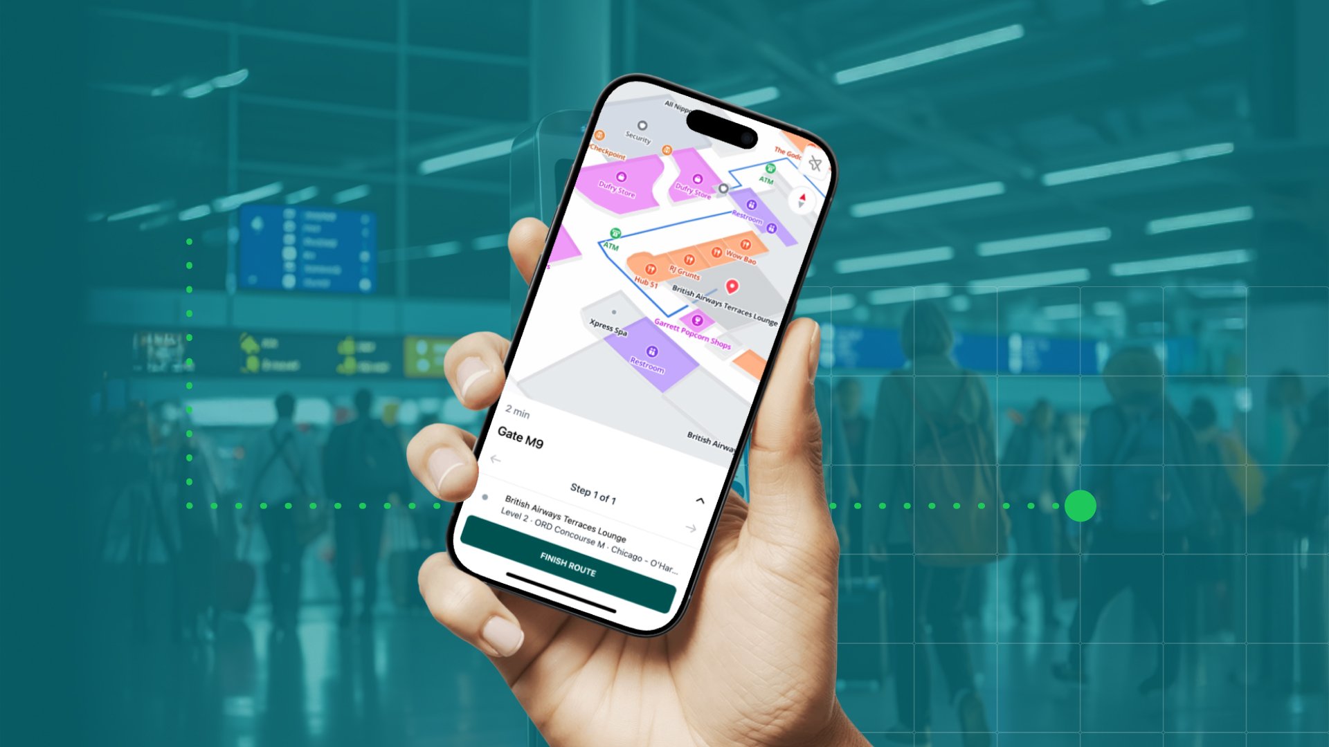
With the year coming to an end it’s time to look back at some of the biggest MapsIndoors moments in 2019. So far, our developers have created and released 28 new MapsIndoors features in 2019, but the year is not quite over yet, and maybe we’ll see one or two more features before it runs out. In this blog, we've selected 2019's biggest MapsIndoors features. Here's our top five, in no particular order. Which one is your favorite?
#1. The MapsIndoors app
Back in June, we released the MapsIndoors application on both Android and iOS. The app is developed to make it faster and easier for customers with demo solutions to experience MapsIndoors at their venue. It also works as a demo app, so potential customers can try and explore our wayfinding platform as part of their decision-making process.
Before the MapsIndoors app was released, demo solutions were developed like all other MapsIndoors solutions. This included individual design and styling of the map, but it also included releasing new applications in app stores for every solution, dragging out the delivery process as all apps needs to go through an approval process
Just like any MapsIndoors solution, the MapsIndoors app provides its users with
- Turn-by-turn directions from point A to Point B including seamless transition from indoor to outdoor navigation
- A clear overview of a specific venue including all of its points of interest
- The well-known design and functionalities of Google Maps
- The additional features your demo solution may include
If you want to read more about the MapsIndoors app or download it to explore MapsIndoors, visit this blog.
#2. Profile-based differentiated navigation
With buildings becoming bigger and more complex than ever before, the importance of indoor navigation is increasing. However, it’s not just visitors at hospitals, travelers at airports, or fans at stadiums that need wayfinding, it’s everyone, including staff and employees. And most likely, some need directions to areas of your venue that are not open to everyone.
Thanks to a new feature in the Network Manager, MapsIndoors supports profile-based differentiated navigation. With profile-based routing you can decide who has access to the different parts of your venue. For instance, doctors and nurses may have access to parts of a hospital that are restricted for patients and visitors. This means that hospital staff will be guided through the restricted areas if this offers them the shortest route to their destination, while patients and visitors will be guided around these areas.
If you want to know more about profile-based navigation and how to set it up, watch the video below and read this blog.
#3. Support for route via parking in navigation
You’re in your car on your way to an appointment at the hospital. You’ve typed your destination inside the hospital into the hospitals wayfinding app and are guided directly to the entrance. The only problem is...there’s no parking near the entrance.
Until recently, MapsIndoors would guide users directly to the entrance closest to their in-venue destination no matter how they arrived at the building. This makes sense if you’re walking, but if you’re driving, you probably need a parking space before the entrance. That’s why we developed a new parking feature, ensuring that people arriving by car are always guided to the parking space before the entrance.
If you want to know how to set up the parking feature in your MapsIndoors solution, go to this blog.
#4. Support for editing venue and building meta-data
The Integration API (formerly known as Public Data API) that is the interface that connects your MapsIndoors solution with other third party systems was also updated with new features in 2019.
For a long time, it has been possible to change points of interests through the Integration API, but thanks to a recent update, rooms, venues, buildings, floors, areas, categories, and display rules can now also be updated via the API. But there's more...
#5. Support for custom properties
Thanks to another of the new features in the API, your map now automatically updates when certain changes are made in connected third-party systems. For instance, if you have a convention center with 3,000 stands that are booked on a weekly basis, the Integration API sends relevant information about the exhibitors, such as logos and links to websites, to MapsIndoors. This means that all 3,000 stands will automatically be updated with the right information on the map, saving you the time it would take to update 3,000 stands manually.
You can read more about the Integration API, the two features, and why we changed the API’s name from Public Data API to Integration API in this blog.
While Christmas should be about relaxing and spending time with family and friends, you often end up with a busy holiday schedule. Don't forget to take some time out and enjoy a bit of light reading while the kids are playing. Tune into our blog, where we'll keep you updated on MapsIndoors news and give you our indoor navigation predictions for the year to come.
December 17, 2019


.png)