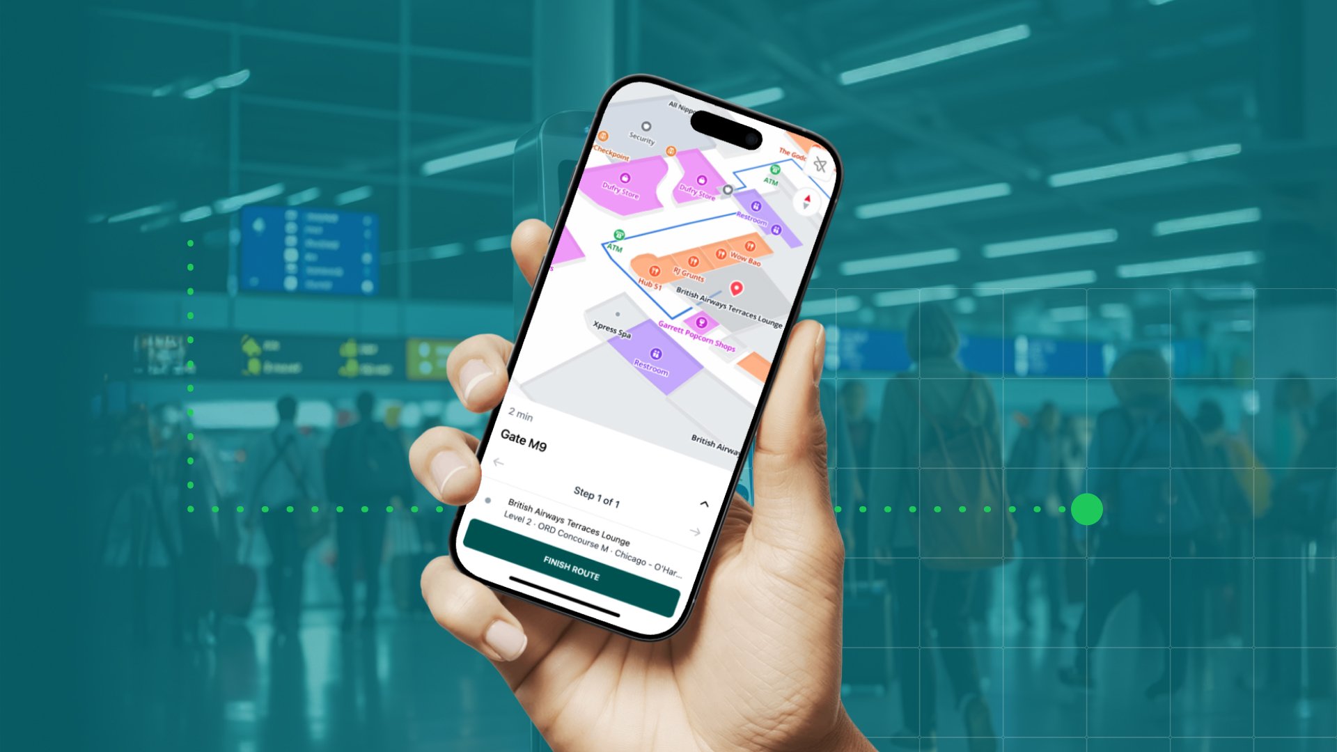
It’s no secret that 2020 hasn’t exactly welcomed traveling and exploring new places. There’s been a shift in where and how we navigate, and this is also something Google Maps appears to have adjusted to during the year. To guide us through Google Maps’ year of 2020, we had a chat with MapsPeople’s very own Google Maps expert, Customer Success Manager Jesper Smalbro Holdensen, and in this blog, we offer you an overview of some the most prominent and interesting updates to the Google Maps Platform in 2020.
Local Context
During a year where we’ve undoubtedly had to stay home more often than usually, Google Maps has seemingly adjusted accordingly by focusing a lot on local areas. Google Maps itself calls this Local Context, which combines the best of Maps, Routes, and Places into a single experience. By implementing the Local Context API to your web app, customers can get a chance to explore the local area directly via the map - without a need to leave your site to find the information they need. There’s also been a focus on optimizing features like ride sharing and food delivery, helping drivers navigate and allowing customers to track the live progress for a precise estimated arrival.
Add custom style sheets in the developer console
Another feature which has been implemented into the Google Maps Platform this year is the option to add custom style sheets in the developer console. This makes it easier for large companies such as big retail chains and international restaurants to deploy a streamlined look and feel across all of their services. All changes to design can be done from one central console and easily be applied to existing and new subsidiaries, ensuring that all parts of the organization will be using the same design and style sheets.
Vector maps
Something we’ve previously brought up this year is that Google Maps has now changed to vector maps instead of raster maps. Vector maps, which are loaded by demand using WebGL, allow the browser to access the GPU on the user’s device and that way render 2D and 3D graphics. Thus it’s now possible to get a whole new level of detail on the tiles and make them appear sharper while they in some cases will also load faster. The use of 3D graphics can be especially beneficial for businesses that rely heavily on visuals. Take real estate companies as an example. The sharper and more detailed graphics allow house buyers to check out the house’s location on Google Maps and with the 3D view get a much better idea of the building compared to the raster maps more basic outlines of buildings.
COVID-layer
There’s no way around it - we can’t say 2020 without mentioning the pandemic. In order to help consumers stay safe and informed while getting from place to place, Google Maps has deployed a COVID-layer to their platform. This layer keeps the user updated on everything from the numbers of cases in your country (or state if you’re in the US) to checkpoints and restrictions you may encounter along your route. The COVID-layer also applies to businesses. For instance, customers will be able to, directly via the map, get information about restaurants’ safety guidelines - mask requirements, or whether the restaurant requires temperature checks of guests and personnel to offer customers transparency and a feeling of security. Furthermore, COVID-19 testing sites have been added to Google Maps for users to easily find the closest site to get tested.
Consumer perspective
Aside from the COVID-layer, Google Maps has added and optimized features to enhance the consumer experience. A new feature from Google Maps is the ability to locate traffic lights on the map and that way become able to plan a different route if necessary.
Another feature we’ve seen more of this year is the accessibility of data There’s now more information available to enhance - for instance - wheelchair users’ navigation experience. This includes parking space availability, wheelchair accessibility, and other information to make physically impaired individuals’ journeys easier.
With accessibility of data comes also a new feature we’ve seen from Google Maps this year. It’s now possible to find subway entrances on the map. This is going to be helpful for a lot of big city metropolitans and tourists, who will no longer have to get lost trying to find the subway.
If you’re interested in learning more about the updates from Google Maps in 2020, check out our blog where we make sure to always share the best and most interesting news.
December 17, 2020
.png)


.png)