
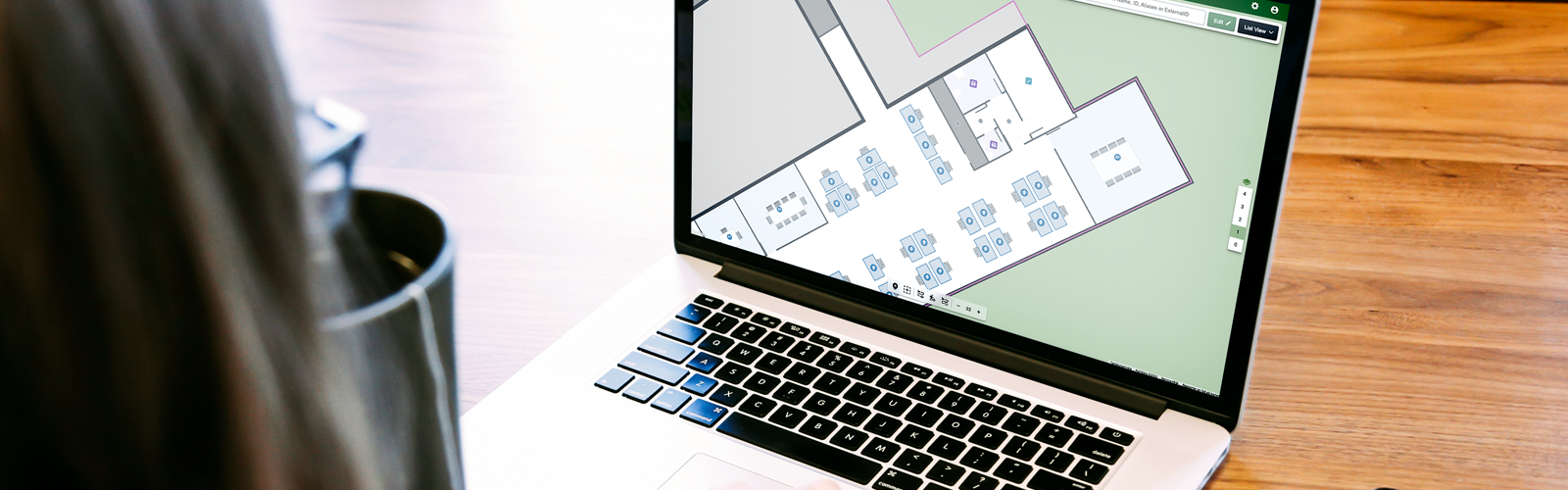
In this part of the MapsIndoors CMS Tutorial series, we look into how to manage Location Types.
To manage Location Types, go to Solution Details and Types.
All Locations are associated with one Location Type and inherit the Location Type’s metadata, such as restrictions and Display Rules. A base set of Location Types are defined when your map is first digitized, and you can create new ones or edit existing types.
You can edit the name and add restrictions. Restrictions added here will be inherited by all locations of that type.
Click the Display Rule icon to control how Locations of this type appear in your app.
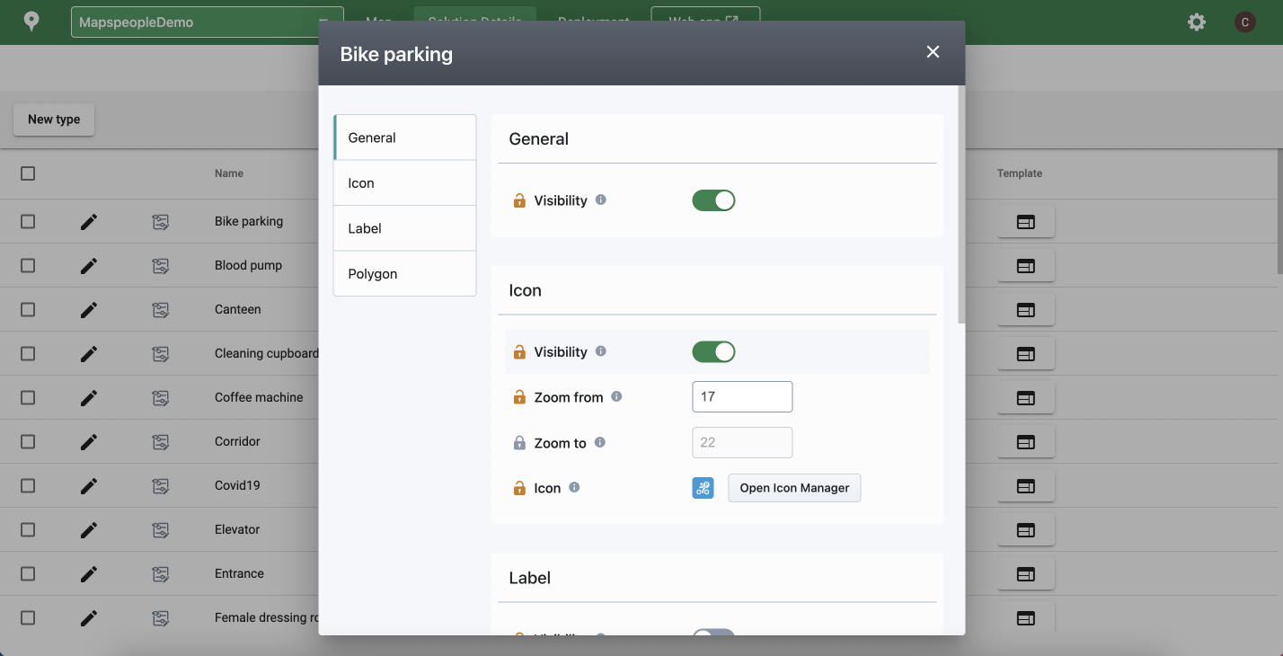
You can control general, icon, label, and polygon visibility. The lock next to each item shows you which properties are inheriting from the default settings in the main Display Rule and what is overridden for this specific Type. Hovering over the info icon next to each item explains its purpose.
Icon and label visibility are controlled independently, and a max width can be set for labels.
Please note that your application code must use Display Rules, not hardcoded overrides, for style changes, such as Location stroke and fill color, to appear on the map.
For more in depth CMS information, please visit our documentation site.
Stay tuned for the next part of the series: Creating Categories.
The MapsIndoors CMS Tutorial series:
Part 1: Concepts
Part 2: Navigation Overview
Part 3: Working with the Tool Bar
Part 4: Working with the Filter Bar
Part 5: Bulk Editing
Part 6: Managing Locations Types
Part 7: Creating Categories (Coming soon)
June 1, 2022
.jpg)

